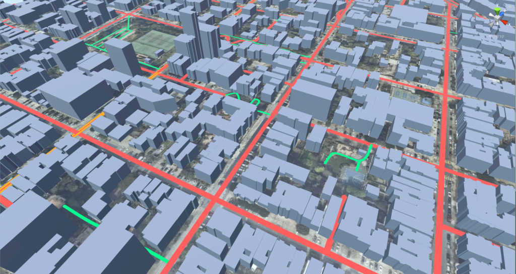
Hybrid map demo scene merges both Satellite Background and Vector information. It can be really useful to highlight some data over a realistic background.
This map doesn’t use elevation but use Satellite4X, meaning that it makes 5 requests per tile just like the satellite demo scene.
If you take a look to the layers list you’ll notice that:
Buildings: enabled, all rendered in the same color.
Landuse: disabled
Water: disabled
Roads: enabled, rendered differently based on the kind. All road types, rail and path.